If you’re working in surveying, it’s important to be aware of the potential for both systematic and random errors in your measurements. An error means the difference between what we mea ...
Expert Civil Latest Articles
Save Billable Time with a Virtual Surveyor!

Equator Studios is a powerful LiDAR mapping platform that has replaced the need for traditional survey. Trillion of Survey Points You no longer need to hire a surveyor to go into the field to get t ...
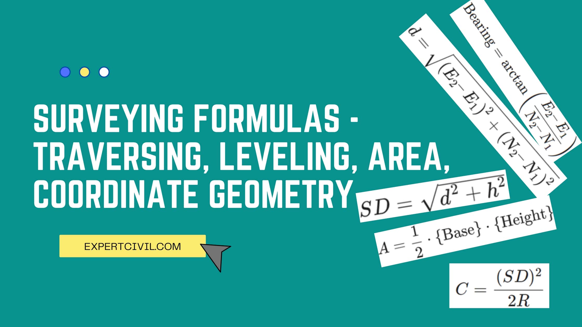
Surveying Formulas

Surveying formulas for all the concepts covered under different courses, B.Tech, Diploma, GATE, SSC, or Other competitive exams, are provided here by our subject matter expert. To solve the surveyi ...
Importance of Clear and Accurate Field Notes for Surveyors

What are Field Notes? When surveyors go out into the field to measure and map an area, one of the most important things they do is take detailed and clear Field Notes. These notes are used to make ...
Techniques Used in Preliminary Surveys

What is Preliminary Survey Preliminary surveys also referred to as pre-engineering surveys, location surveys, or data-gathering surveys, are a method used to gather information about the location o ...
General Procedure In Making A Chain Survey

What is Chain Survey? Chain surveying is a very traditional method of surveying. In this method, we record only linear measurements, not angular measurements. Additionally, only measuring tasks are ...
Necessary Precautions In Using Chain Surveying Instruments

We have already discussed chain surveying in our last article, In this article, we will learn about “Necessary Precautions In Using Chain Surveying Instruments”. Precautions to Take When Using Cha ...
Surveying – Its Meaning, Objectives, Methods & Principles of EDM

The surveying can be originated from ancient Egypt. Generally, the great pyramid of Khufu at Giza was built about 2700 BC, 755 feet (230 meters) long and 481 feet (147 meters) high. Introduction to ...
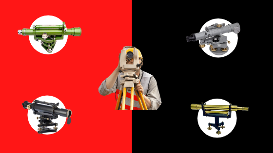
5 Types of Levelling Instruments used in Surveying

What is Leveling? The process of calculating the height of one level in relation to another is known as levelling. It is used in surveying to determine a point’s elevation relative to a datum ...


