Share
Get Access to:
Get Access to:
Lost your password? Please enter your email address. You will receive a link and will create a new password via email.
Please briefly explain why you feel this question should be reported.
Please briefly explain why you feel this answer should be reported.
Please briefly explain why you feel this user should be reported.
Reciprocal levelling is the type of surveying technique or process which is done from both sides to reduce the errors. This process is done when the distance between the two points is too far. Due to the earth curvature, refraction sight can cause errors at far distance as compared to the far distanRead more
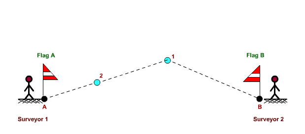
Reciprocal levelling is the type of surveying technique or process which is done from both sides to reduce the errors. This process is done when the distance between the two points is too far. Due to the earth curvature, refraction sight can cause errors at far distance as compared to the far distance.

See lessRead complete article on Ranging Rod
Reciprocal levelling in surveying is a technique which involves taking measurements at two points on different levels, and calculating the difference in height between them. This technique can be used to determine the elevation of the ground between these two points, and can also be used to calculatRead more
Reciprocal levelling in surveying is a technique which involves taking measurements at two points on different levels, and calculating the difference in height between them. This technique can be used to determine the elevation of the ground between these two points, and can also be used to calculate the gradient of the ground in order to create a contour map.
See less